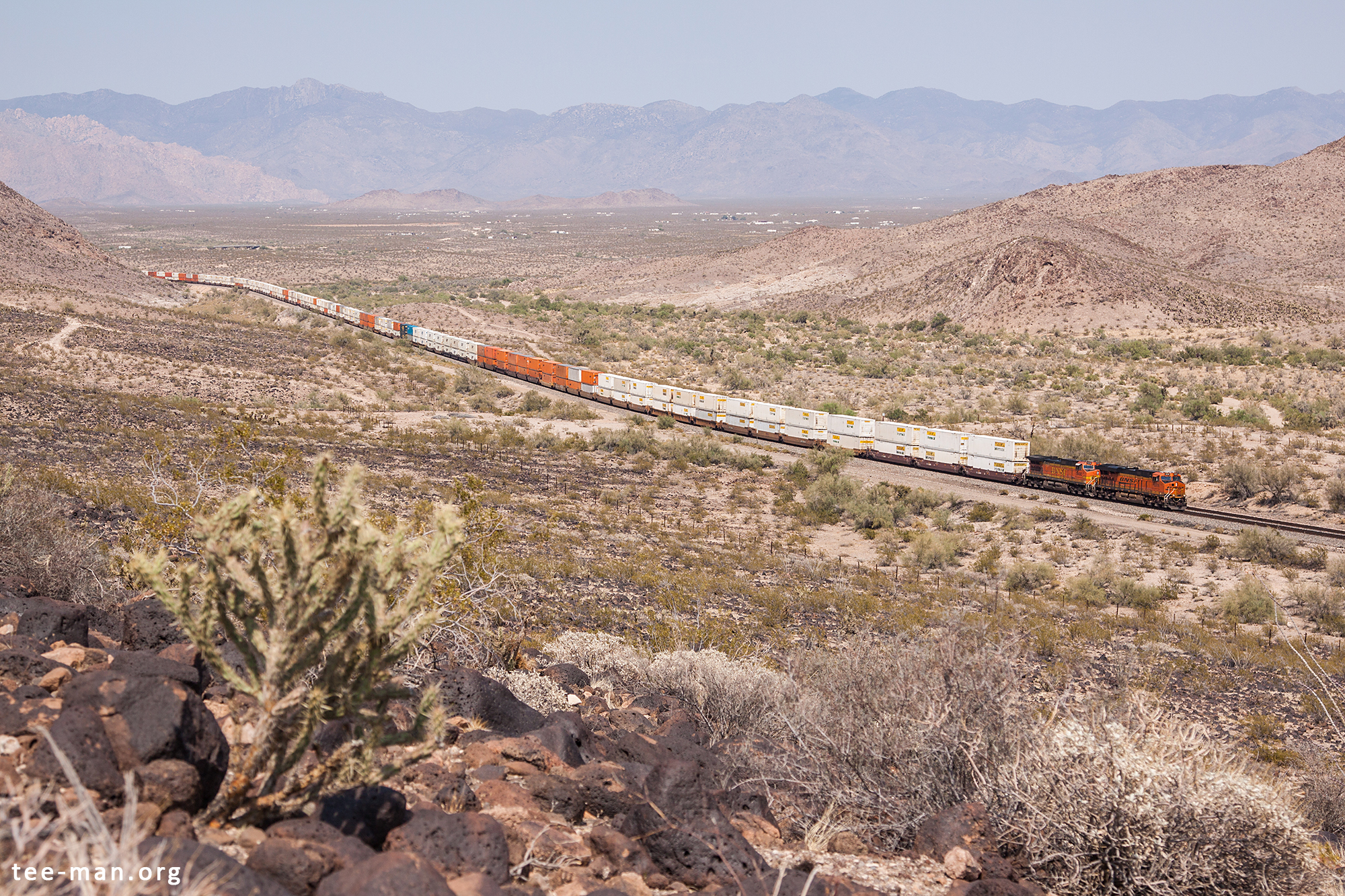
Between Needles and Kingman, both Interstate 40 and the BNSF transcontinental line run south and east of the Black Mountains. This mountain range stretches from Lake Mead in the North until the point that is shown here, at a place called Haviland, where a westbound container train runs along the southern part of the range. This zone is also called the Black Mesa.
In the background, on the other side of the Dutch Flat, the Hualapi Mountains can be seen.
We learnt from our earlier experience with the sand and left the car on a safe spot instead of getting closer to this spot. Once stuck here, there are no more people to pull you out…
This was the last photo of the day. When trying to make more photos near Kingman, we noticed a police vehicle near our parked car. We left our viewpoint early to make sure we weren’t in trouble. Turns out we parked in front of a prison on a non-marked spot, which is not allowed. No further consequences, fortunately, but we decided to call it a day. Lesson learnt.